Surveying
Get the Full Picture, Flawlessly.
Our core surveying services form the foundation of every successful project, delivering precise data with cutting-edge technology.
Surveying
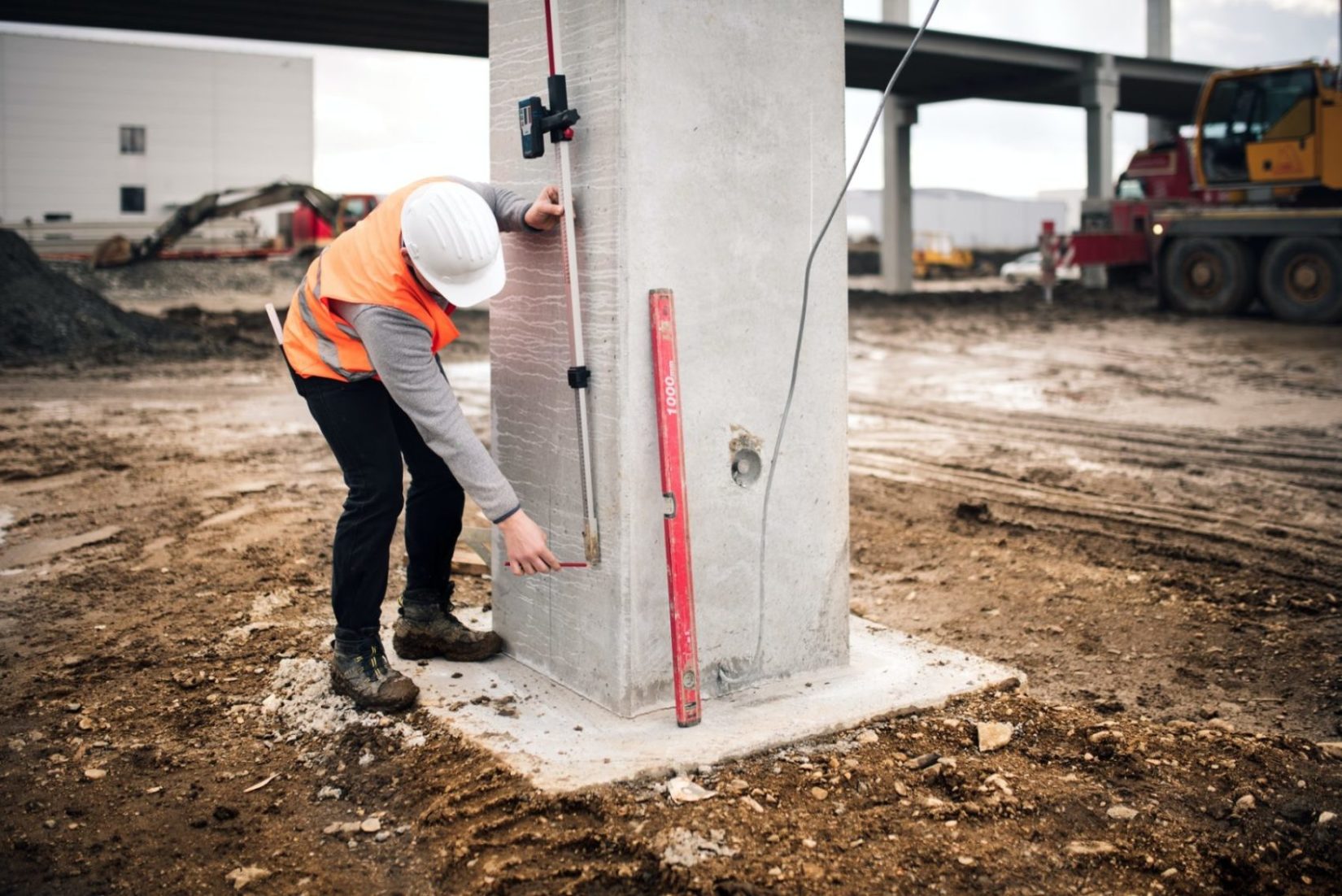
At SurveyPro, ‘surveying’ isn’t just a word; it’s our promise of meticulous detail and unshakeable accuracy. We deploy the latest GPS, robotics, and reflectorless Total Station technology to capture every crucial detail. Whether it’s setting out roads and bridges, performing intricate volume calculations, or plotting vital service locations, we ensure you receive reliable information and reports in any digital format you need.
For civil and road projects, we combine advanced field equipment with powerful software, such as 12D Model and Civil 3D, to deliver highly efficient and fast solutions. Our team excels in all elements of construction and engineering surveying, from initial site establishment and precise building control to accurate as-built surveys for foundations, steelwork, and vertical alignment. Need immediate data? Our surveyors are proficient with 12d Model and come with on-site laptops for instant access to drawings and data.
We also specialise in comprehensive detail and topographic surveys, providing complete architectural surveys, digital terrain models (DTMs), and integration with 3D point cloud scans. We can even map water flow diagrams, customise layering for quality controls, and pinpoint above- and underground-service locations. SurveyPro delivers the best quality and most accurate results, ensuring great value for money.
We also specialise in comprehensive detail and topographic surveys, providing complete architectural surveys, digital terrain models (DTMs), and integration with 3D point cloud scans. We can even map water flow diagrams, customise layering for quality controls, and pinpoint above- and underground-service locations. SurveyPro delivers the best quality and most accurate results, ensuring great value for money.
Surveying
UAV Aerial Survey
Mine Surveys
Benchmark
3D Laser Scanning
Bid Preparation
Machine Control
Let’s work together
(1300 787 839)
Our Clients & Partners
