Precision, Nationwide – Australia’s Next-Gen Surveying Partner
SurveyPro combines cutting-edge technology with in-depth project expertise to deliver survey-grade accuracy nationwide in Australia. From first peg to final scan, we help you build faster, safer, smarter.
Nationwide Coverage | High-Precision | Innovation-Driven
SERVICES WE PROVIDE
Integrating Advanced Technology with Expert Knowledge
Surveying
High-accuracy land and engineering surveys using state-of-the-art equipment
Machine Control
Precision guidance systems for construction and earthworks, minimising errors and rework
3D Laser Scanning
Detailed 3D models for complex structures and assets, enabling accurate as-built data
Book an Free Quote Today
WHO WE ARE
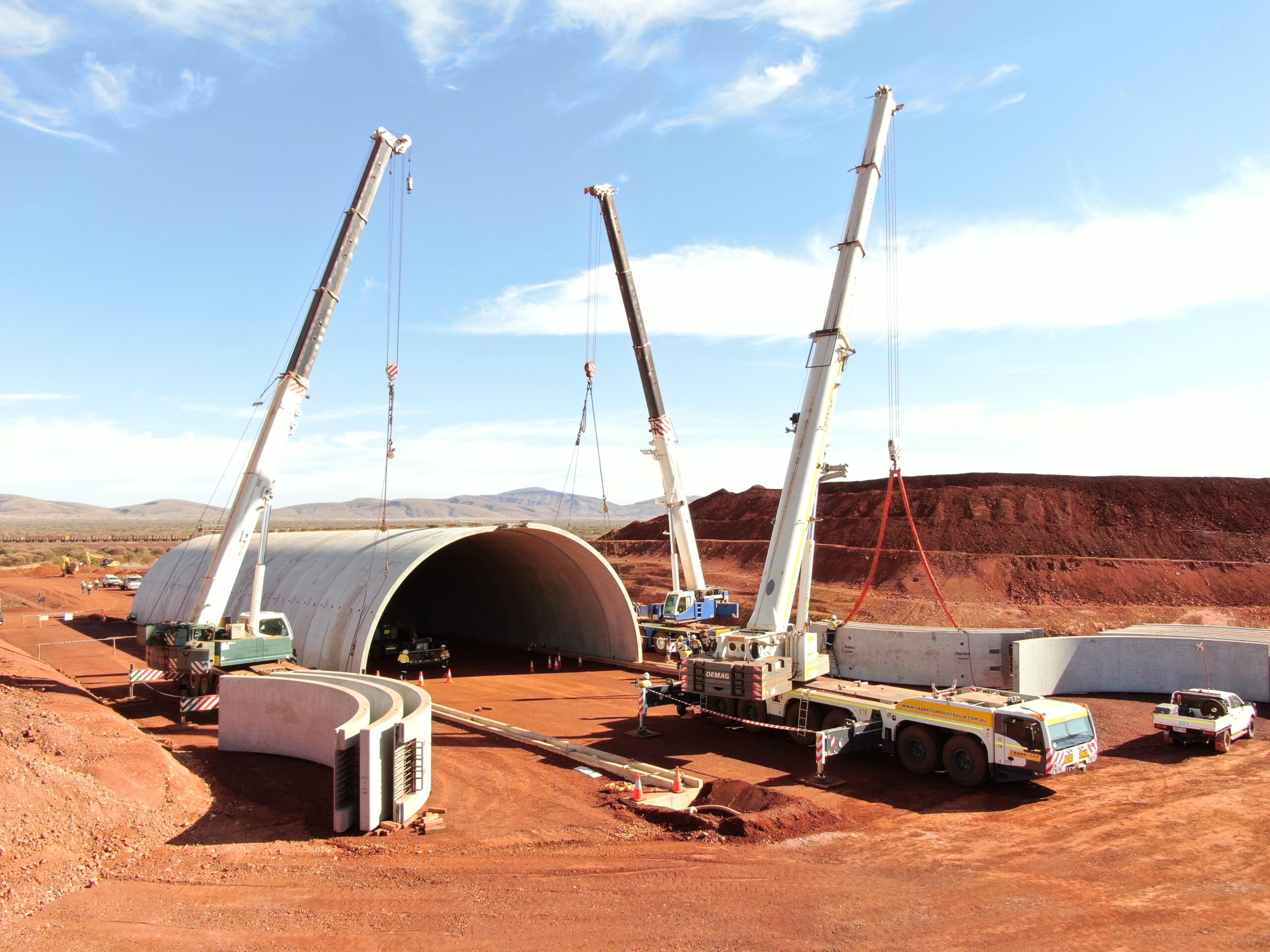
Built for Projects That Move Australia Forward
SurveyPro is a nationwide collective of surveyors, engineers and data specialists who believe great data should be fast, fearless and future-proof. We’re not the oldest firm—that’s our advantage. No legacy workflows. Only today’s best tech, tomorrow’s methods, and zero tolerance for error.

800
Projects Done

56
Expert Memebers

17
Years Experience

14
Heavy Machines
OUR MISSION
Work Areas
What we do
AI-Powered Analysis
Leveraging artificial intelligence for enhanced data processing and predictive insights in surveying applications.
Cloud-Based Management
Real-time data access and collaboration through secure cloud platforms for seamless project coordination.
Real-Time Kinematic positioning for centimetre-level accuracy in real-time surveying operations.
Get in Touch
OUR SERVICES
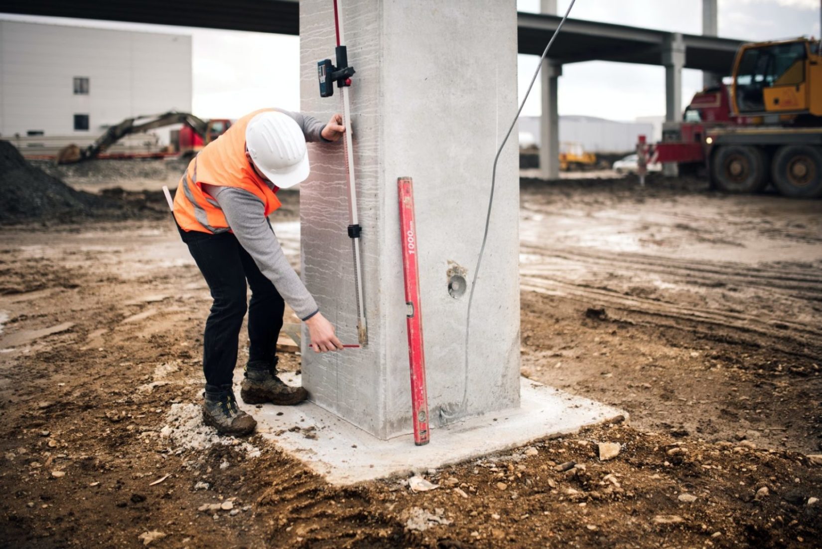
Surveying
Precise, on-site measurements for roads, bridges, buildings, and boundaries.
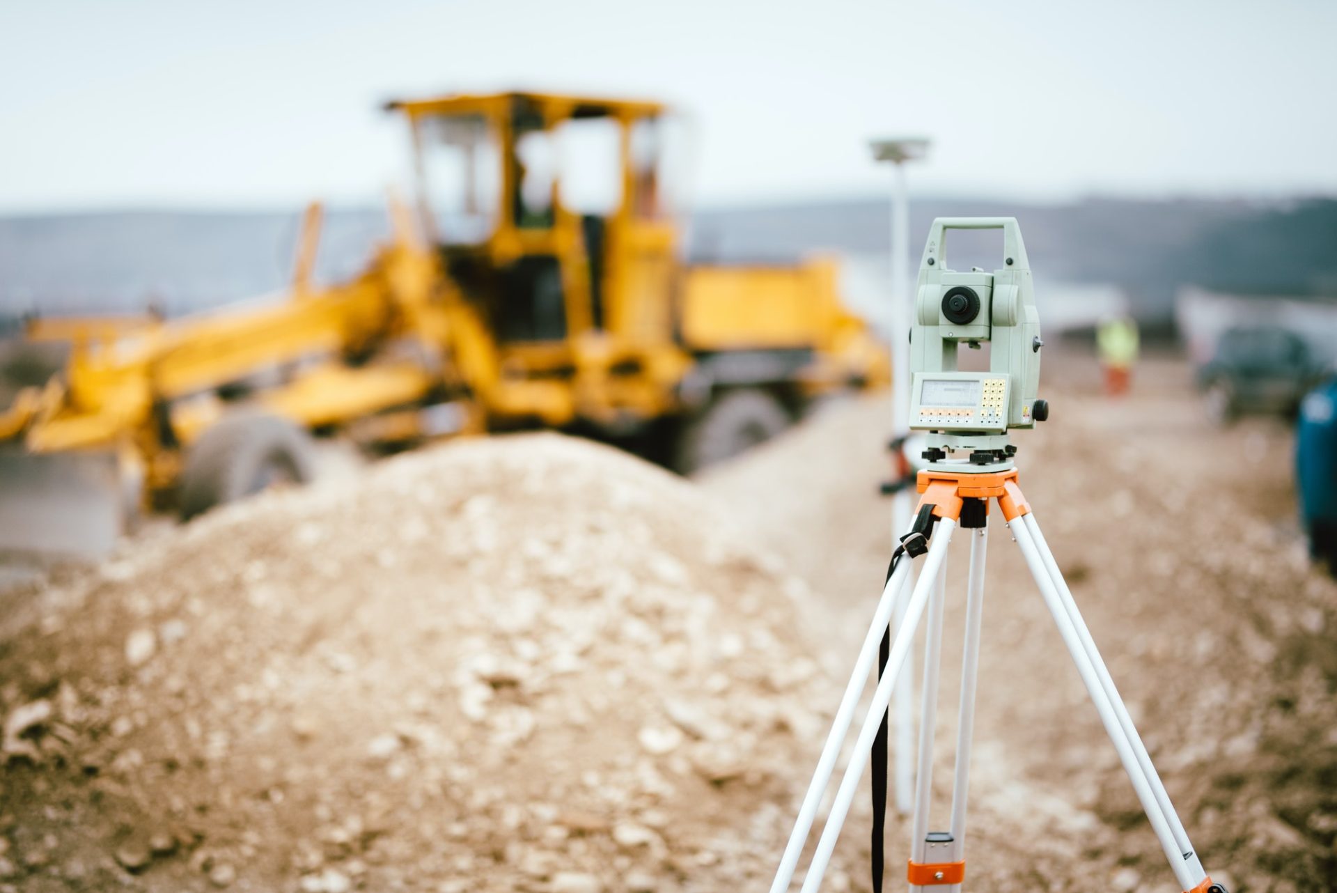
UAV Aerial Survey
High-accuracy drone mapping for fast, safe, and large-scale data capture.

Machine Control
Custom GPS files and site setup to automate and optimise earthwork operations.

3D Laser Scanning
Full-detail 3D scans of structures and terrain for design and BIM workflows.
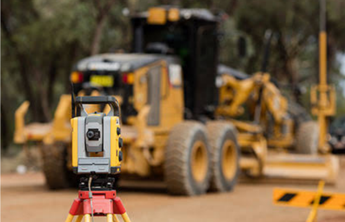
Bid Preparation
Survey-grade data and volume estimates to build smarter, more competitive tenders.
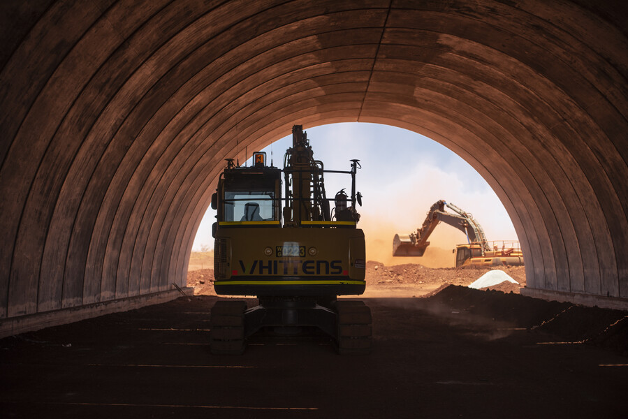
Mine Surveys
End-to-end survey solutions for open-pit and underground mining operations.
Passion for Accuracy & Excellence
Our highly skilled and experienced professionals are dedicated to delivering precision through advanced techniques and exacting standards.
Our Professionals
Highly skilled and experienced professionals are passionate about delivering accuracy and excellence in every project they undertake. Our team combines advanced qualifications with practical expertise across a wide range of surveying applications.
Certified Surveyors | Advanced Training | Continuous Development
Let’s work together
(1300 787 839)
Client Testimonial
Our Clients & Partners








Build the Future With Us
We’re hunting for surveyors, UAV pilots, 12d modellers who refuse “good enough”.

